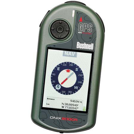
Bushnell ONIX 200 Handheld, Waterproof, WAAS Enabled GPS Navigation System, Satellite / Aerial Imaging with Color Screen
SKU: BS362005
This item is no longer available.
Share:
Overview
Compare
Learn
Specs
Protection
About Bushnell ONIX 200 Handheld, WP, WAAS Enabled GPS System
Now you can navigate and plan your adventure using actual satellite images and aerial photography. The ONIX200CR is the only handheld GPS unit on the market that gives you this capability. Log on to our Web site, download an image to your GPS unit and it's instantly calibrated (georeferenced) to the satellites for navigation.
Now, the landmarks around you are pictured in your palm. And ourscreen-layering feature creates the most user-friendly interface on the market. Combine this with our other exclusive features - SafeTrack battery-conservationmode and HOT button operation) - and you're holding an incredibly advanced pieceof equipment that's also simple to use.
Zoom Button: Use this to get a more detailed look at your chosen satellite image or aerial photo.
Aerial Photos:
Unlike maps, which portray the landscape with generalized symbols and colors, aerial photography reflects the terrain as it exists in nature. Buildings, bridges, roads, urban and rural areas, and other manmade features are shown as they were at the time of photography.
Georeferenced satellite images:
When you download a satellite or aerial photo to your Bushnell GPS, it's instantly georeferenced to the satellite network for navigation. This means the image is calibrated to adjust to your heading and location to display an accurate representation of the ground you're eXPLORing.
For example:
if you're headed south facing a stand of pines, you can look down at your Bushnell GPS and the satallite image or aerial photo and directional compass will also display you're headed south and facing the stand of pines. We call this TruView navigation. By referencing the landmarks around you to those on your LCD, you can eXPLORe new territory with the competence of someone who's trekked the land for years.
Georeferenced satellite images also give you an accurate portrayal of relative distance when viewing your position in relatio n to waypoints and visible landmarks. This means, if you know you've traveled ne arly a mile from your treestand, and your next stopping point appears to be of e qual distance away on your LCD, you can estimate you're approximately a mile fro m your destination. It's fast, simple and the most efficient way to see the coun try.
Routes:
A path to an end point consisting of intermediate stops, marked by waypoints, along the way.
SafeTrack battery-conservation mode:
The ONIX runs continuously for up to 39 hours on one set of batteries th anks to SafeTrack. This feature puts the display to "sleep" to save power while maintaining satellite connection behind the scenes. Optional audible alarms aler t you of deviation from course.
Bushnell-exclusive screen-layering feature:
It's how we made the world's most advanced GPS so easy to use. Bushnell GPS units layer a satellite or aerial photo, or a topographic map, and all navigational aids in in perfect harmony on a single screen.