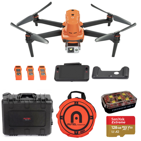
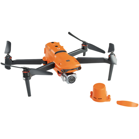
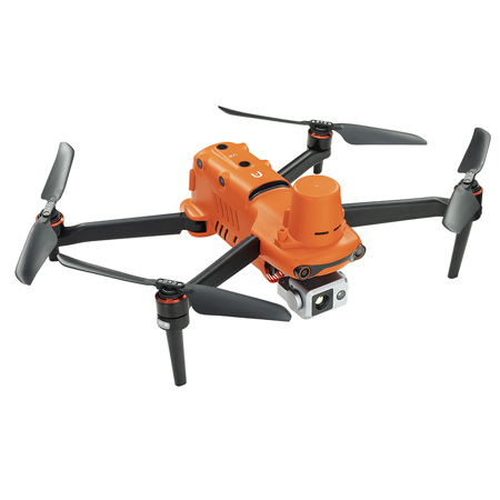
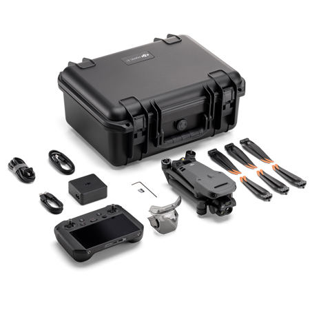
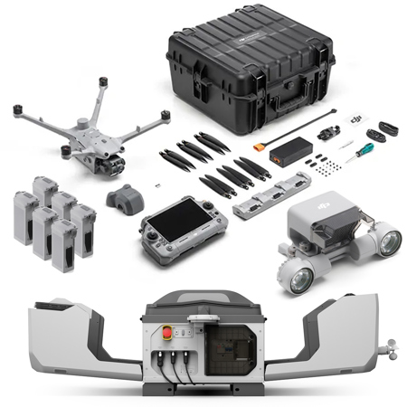
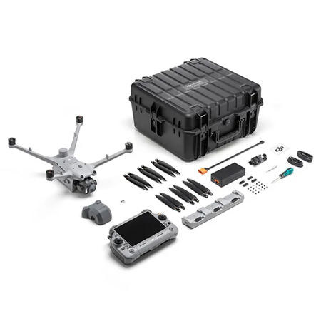
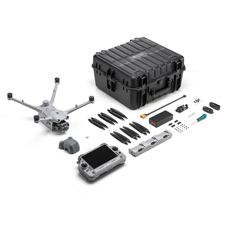
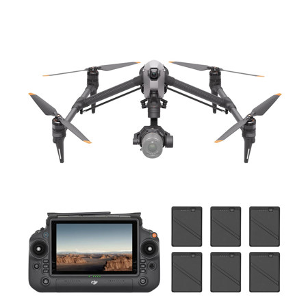

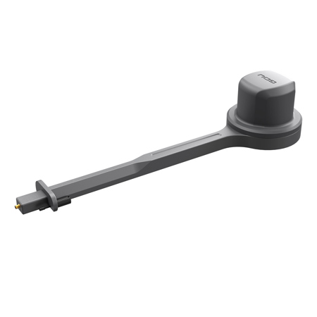
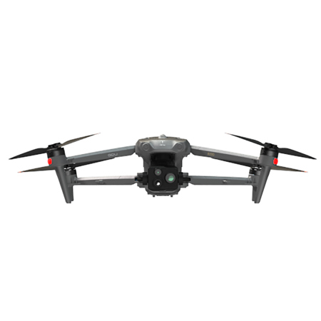
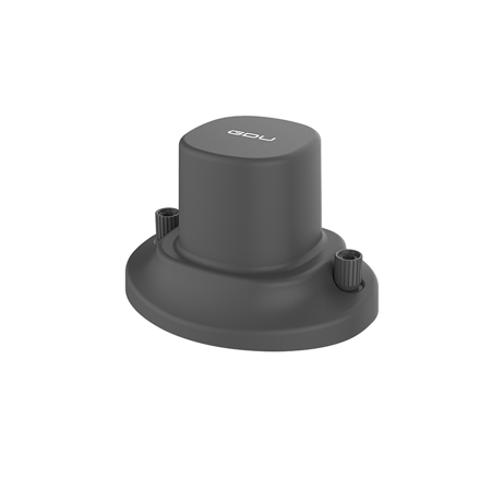
RTK Drones
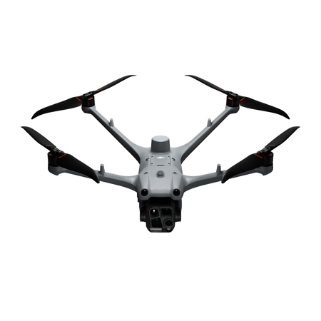
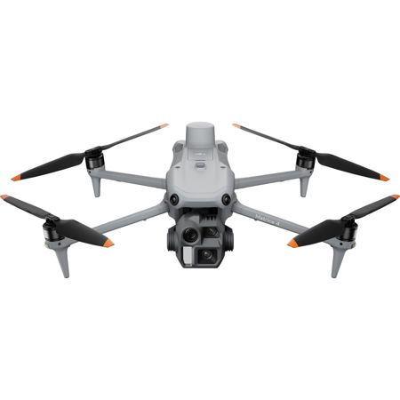
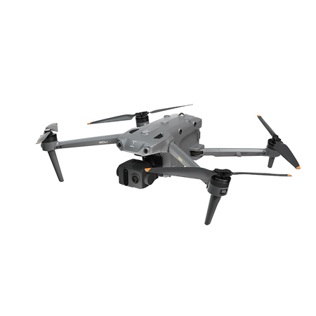
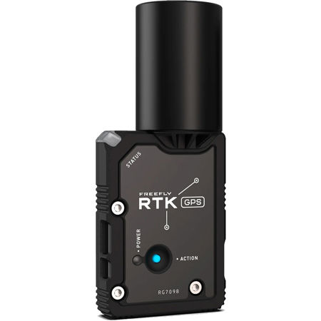
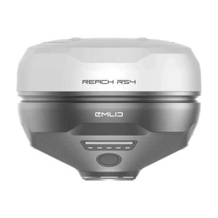
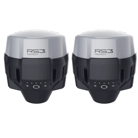
RTK drones—short for Real-Time Kinematic unmanned aerial vehicles—stand at the forefront of precision aerial technology, delivering centimeter-level positioning accuracy that is revolutionizing industries from surveying and construction to agriculture and environmental monitoring. Unlike standard GPS drones, which may provide location data accurate only within a few meters, drones with RTK leverage a sophisticated system of ground base stations and real-time correction signals to achieve pinpoint accuracy. This ability to correct satellite signal errors on the fly means that RTK enabled drones can capture highly detailed geospatial data, making them indispensable for professionals who rely on precise mapping, volumetric measurements, and detailed site inspections. For those managing construction projects, monitoring crop health across vast acreage, or conducting land surveys, the efficiency gains are immediate—eliminating the need for time-consuming ground control points and streamlining both fieldwork and post-processing. During the warmer months, when outdoor projects ramp up and daylight stretches longer, RTK UAVs become especially valuable, allowing teams to maximize productivity while maintaining the highest standards of accuracy.
As the seasons transition and cooler weather approaches, the versatility of drones with RTK continues to shine. These platforms are not just tools for professionals; they also make thoughtful gifts for tech enthusiasts, aspiring surveyors, or anyone with a passion for innovation and the outdoors. Whether used for capturing breathtaking landscape imagery with geo-tagged precision, conducting wildlife monitoring, or supporting research projects, RTK drones offer a unique blend of advanced technology and practical utility. When considering an RTK UAV, it’s important to weigh factors such as flight time, payload capacity, ease of use, and compatibility with virtual base station networks via NTRIP for remote operations. For those searching for the drones with best RTK GPS, features like seamless integration with mapping software, robust obstacle avoidance, and modular design can make a significant difference in the field. Even if budget is a concern, the market offers a range of options—from the most advanced enterprise solutions to the cheapest RTK drone models that still deliver reliable accuracy for entry-level mapping or hobbyist exploration. The right choice depends on your intended application, whether it’s high-precision surveying, infrastructure inspection, or capturing the changing colors of the landscape as summer fades into fall.
For anyone looking to expand their toolkit or explore the possibilities of precision aerial data, RTK drones open up new horizons. Their ability to automate complex flight paths and deliver consistent, repeatable results is transforming workflows across industries and seasons alike. If you’re interested in exploring more aerial solutions for outdoor environments, visit our curated collection of Outdoor Drones to discover a range of models designed for performance, reliability, and versatility in the field. Whether you’re gearing up for a busy survey season, planning to document autumnal scenery, or simply seeking the latest in drone technology, RTK-enabled drones offer the accuracy and confidence to tackle any challenge—no matter where your work or adventures take you.


