Survey Cameras
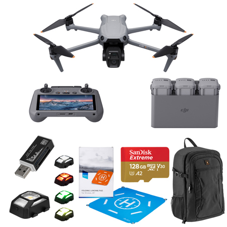
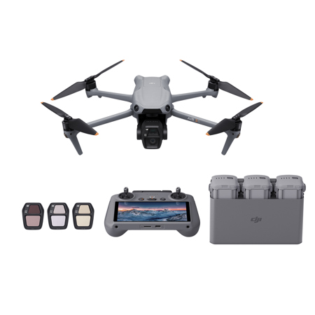
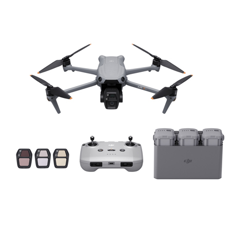
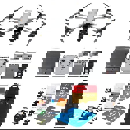
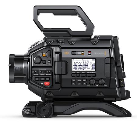
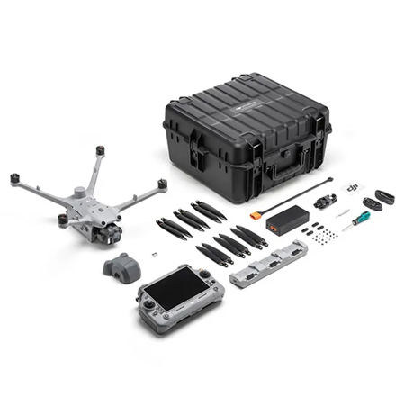
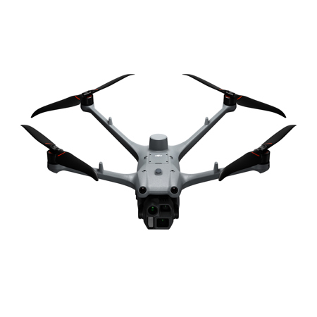
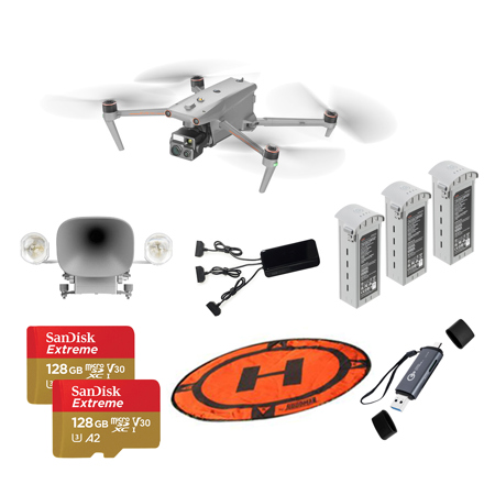
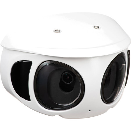
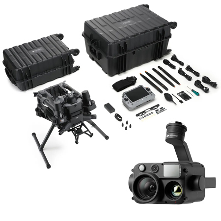
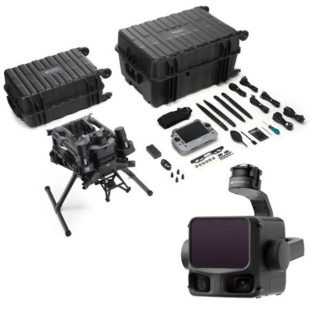
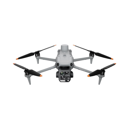
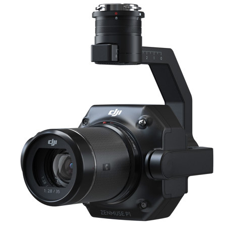
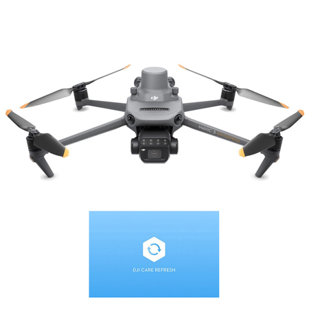
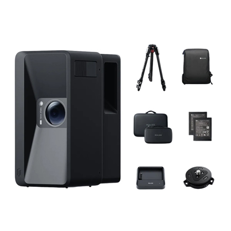
Survey cameras have become essential tools for professionals and enthusiasts alike who require accurate visual data for mapping, inspection, and documentation. Whether you’re involved in land surveying, construction, infrastructure inspection, or environmental monitoring, the right survey camera can make all the difference in your workflow. These cameras are designed to capture high-resolution images and videos, often integrating seamlessly with GPS and GIS systems to provide precise geospatial data. Advanced models may feature 360-degree imaging, telescopic lenses, or even compatibility with drones for aerial surveys, enabling coverage of vast areas or hard-to-reach locations. As the weather warms and outdoor projects ramp up, survey cameras see increased use on job sites, in the field, and during site assessments for remodeling or development. Their rugged construction and specialized optics are tailored for reliable performance in diverse conditions—from sunlit open landscapes to the dim recesses of building interiors or underground utilities.
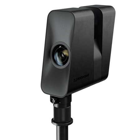
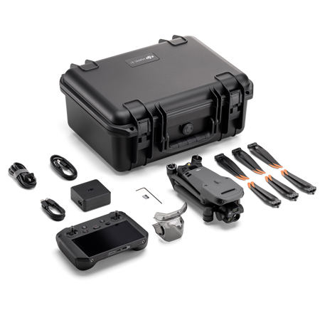
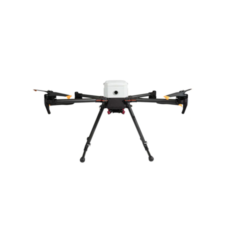
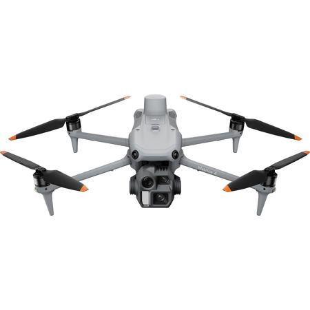
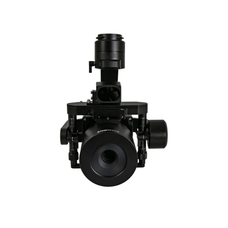
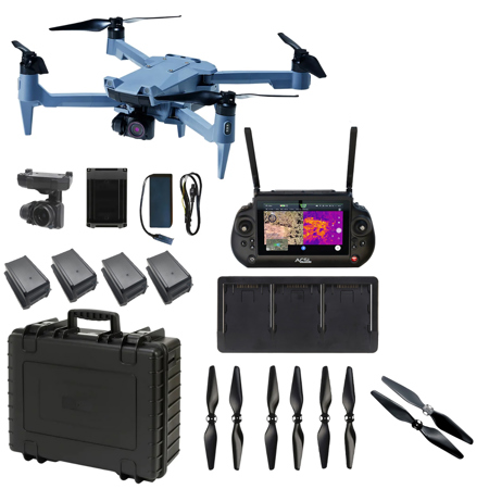
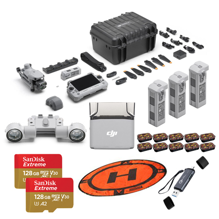
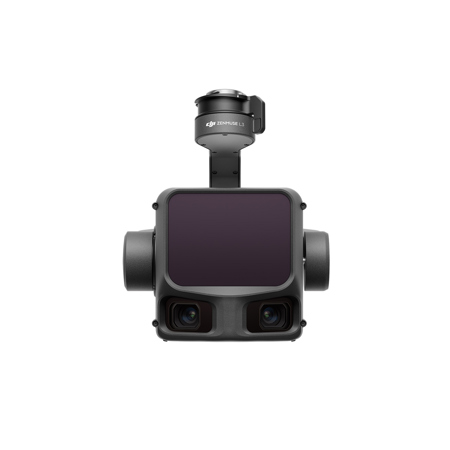
When selecting a survey camera, there are several key considerations to keep in mind. Resolution and sensor size are critical for capturing fine details, especially when generating 3D models, topographic maps, or conducting photogrammetry. For professionals working with drone-mounted systems, weight and integration with flight controllers are important, as is the camera’s ability to geotag images for seamless post-processing. On the ground, handheld and mobile mapping cameras with panoramic or articulating lenses are invaluable for documenting building facades, infrastructure, or confined spaces like pipes and ducts. Many modern survey cameras now offer features such as augmented reality overlays, real-time coordinate calculation, and compatibility with laser scanning devices, streamlining the process of collecting and analyzing spatial data. For those new to surveying, entry-level digital cameras with robust autofocus and intuitive controls can provide a gentle learning curve while still delivering professional results. Survey cameras also make thoughtful gifts for engineering students, architects, or anyone passionate about mapping and exploration—imagine the satisfaction of capturing a detailed 3D model of a favorite hiking trail or historic building during a summer adventure.
Beyond professional applications, survey cameras are increasingly popular among hobbyists and property owners looking to document land boundaries, monitor construction progress, or inspect hard-to-access areas. With the versatility to transition from outdoor site surveys to indoor inspections, these cameras are a smart investment for anyone seeking reliable, high-quality visual records. As projects move from planning to completion through the warmer and cooler months, the ability to capture clear, actionable imagery supports better decision-making and documentation. For those interested in expanding their toolkit further, a visit to our Property Surveillance page offers additional solutions for securing and monitoring properties, complementing the capabilities of dedicated survey cameras. Whether you’re mapping a new landscape, inspecting critical infrastructure, or simply exploring the world with a digital camera in hand, the right survey camera empowers you to see more, capture more, and achieve more—season after season.
When selecting a survey camera, there are several key considerations to keep in mind. Resolution and sensor size are critical for capturing fine details, especially when generating 3D models, topographic maps, or conducting photogrammetry. For professionals working with drone-mounted systems, weight and integration with flight controllers are important, as is the camera’s ability to geotag images for seamless post-processing. On the ground, handheld and mobile mapping cameras with panoramic or articulating lenses are invaluable for documenting building facades, infrastructure, or confined spaces like pipes and ducts. Many modern survey cameras now offer features such as augmented reality overlays, real-time coordinate calculation, and compatibility with laser scanning devices, streamlining the process of collecting and analyzing spatial data. For those new to surveying, entry-level digital cameras with robust autofocus and intuitive controls can provide a gentle learning curve while still delivering professional results. Survey cameras also make thoughtful gifts for engineering students, architects, or anyone passionate about mapping and exploration—imagine the satisfaction of capturing a detailed 3D model of a favorite hiking trail or historic building during a summer adventure.
Beyond professional applications, survey cameras are increasingly popular among hobbyists and property owners looking to document land boundaries, monitor construction progress, or inspect hard-to-access areas. With the versatility to transition from outdoor site surveys to indoor inspections, these cameras are a smart investment for anyone seeking reliable, high-quality visual records. As projects move from planning to completion through the warmer and cooler months, the ability to capture clear, actionable imagery supports better decision-making and documentation. For those interested in expanding their toolkit further, a visit to our Property Surveillance page offers additional solutions for securing and monitoring properties, complementing the capabilities of dedicated survey cameras. Whether you’re mapping a new landscape, inspecting critical infrastructure, or simply exploring the world with a digital camera in hand, the right survey camera empowers you to see more, capture more, and achieve more—season after season.