+20
more
more
Need help? Ask our experts.
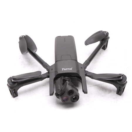
Become an expert in aerial surveillance with the ANAFI USA GOV Edition Thermal Drone, a state-of-the-art, high-tech device designed specifically for government agencies and manufactured in the US. This advanced drone offers unparalleled security, durability, and imaging capabilities, mirroring the features of Parrot's Short-Range Reconnaissance (SRR) drone designed for the US Army.
The ANAFI USA drone is equipped with a sophisticated 4K flight camera and a thermal camera, providing exceptional visual and thermal imagery. Its 32x zoom, designed around two 21-megapixel cameras, allows operators to see details clearly from up to 5km (3.1 miles) away. This innovative drone blends images from its FLIR camera, enabling operators to detect hot spots with the thermal camera, while the visual camera allows them to view people and other important details from up to 2km (1.2 miles) away.
This high-tech drone is easy to operate, making it ideal for first responders and professional users who require rapid drone deployment during missions. It's operational in less than 55 seconds, and can work indoors without a GPS, allowing operators to take off inside a building, pilot the drone through a window to fly outside, and then return.
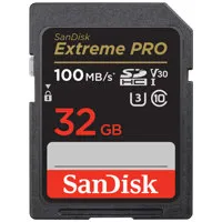
The ANAFI USA drone is designed with user security in mind. Photos and videos are encrypted on its SD card, using the AES-XTS algorithm with a 512-bit kit length, ensuring that saved data cannot be read if the drone or SD card is lost or stolen. The drone also includes a secure WPA2 Wi-Fi connection and signed firmware to prevent any malicious modification of the drone software.
The drone's advanced flight features are powered by Parrot's acclaimed FreeFlight 6 piloting software, offering multiple easy-to-use flight options. The drone's flight routes can be set by coordinates in assisted framing or executed autonomously, making it easy for the entire team to carry out missions.
The ANAFI USA drone is also compatible with the industry-leading mapping software Pix4Dreact, allowing first responders to quickly transform images into precise 2D maps on a laptop. With its open-source SDK and use of industry-standard protocols, the ANAFI USA drone supports a growing ecosystem of professional applications and services.
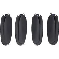
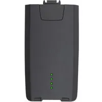
This compact drone is IP53 certified to fly in rain and dust, can fly in winds up to 14.7m/s, and each battery allows for up to 32 minutes of flight time. Despite its compact design, the ANAFI USA drone is a rugged, reliable, and accurate device, making it an essential tool for any professional user.