DJI Zenmuse L2 LiDAR Payload with 2-Year Care Enterprise Plus

SKU: DJIIZENML22Y

This item is no longer available.

Overview
Compare
Specs
Protection
Q&A

Questions & Answers

FAQ

What drones is the Zenmuse L2 LiDAR Payload compatible with?

The Zenmuse L2 LiDAR Payload is designed for use with DJI Matrice 300 and Matrice 350 drones.

What kind of scanning modes does the Zenmuse L2 LiDAR Payload offer?

The Zenmuse L2 LiDAR Payload supports two scanning modes: repetitive scanning for more uniform and accurate point clouds, and non-repetitive scanning for deeper penetration and more structural information.

What is the operational experience of the Zenmuse L2 LiDAR Payload?

The Zenmuse L2 LiDAR Payload offers an enhanced operational experience. It supports Waypoint, Area, and Linear Route types, handling surveying tasks in a variety of environments. The DJI Pilot 2 app supports three display modes - RGB, point cloud, and point cloud/RGB side-by-side display, presenting operational results in an intuitive way.

What applications is the Zenmuse L2 LiDAR Payload suitable for?

In coordination with DJI Enterprise flight platforms and DJI Terra, the Zenmuse L2 LiDAR Payload can be applied to land surveying and mapping, electricity, forestry, and infrastructure management, as well as other scenarios.

What kind of camera does the Zenmuse L2 LiDAR Payload feature?

The Zenmuse L2 LiDAR Payload features a 4/3 CMOS RGB mapping camera with a pixel size enlarged to 3.3 microm, and effective pixels now reaching 20 MP, resulting in a significant improvement in overall imaging, as well as more enriched true-color point cloud details.

Reviews about this item

Review Summary

DJI Zenmuse L2 Specifications

Camera
  • Aperture

    f/2.8-f/11

  • ISO range

    Video: 100-6400
    Photo: 100-6400

  • Lens Included

    24mm

  • Lens

    FOV: 84°

  • Photo Format

    JPEG/DNG (RAW)

  • Photo Size

    5280x3956 (4:3)

  • Sensor

    4/3cmOS, Effective Pixels: 20 MP

  • Shutter Speed

    Mechanical Shutter: 2-1/2000 s
    Electronic Shutter: 2-1/8000 s

  • Video Format

    MP4 (MPEG-4 AVC/H.264)

  • Video Resolution

    4K

General

Jump to...
  • Compatibility

    DJI Matrice 300, DJI Matrice 350

Physical

Jump to...
  • Dimensions

    6.10 x 5.03 x 6.92" (155 x 128 x 176mm)

  • Weight

    31.92 oz (905g) (+/-5g)

About DJI Zenmuse L2

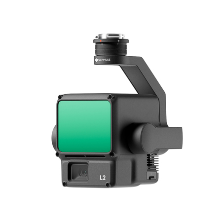
Where advanced technology meets precision, the Zenmuse L2 LiDAR Payload stands out as a high-tech, state-of-the-art aerial LiDAR system. Designed for use with popular DJI Matrice 300 and Matrice 350 drones, this innovative payload is equipped with a high-accuracy IMU system and a 4/3 CMOS RGB mapping camera, providing more precise, efficient, and reliable geospatial data acquisition.

The Zenmuse L2 LiDAR Payload offers an integrated LiDAR solution, supported by its sophisticated hardware, allowing for a precise scan of complex subjects within an extended range and faster point cloud acquisition. This high-level precision is achieved by combining GNSS and a self-developed IMU, ensuring 4cm vertical accuracy and 5cm horizontal accuracy.

Exceptional efficiency is another hallmark of the Zenmuse L2 LiDAR Payload. It's ready for work as soon as it's powered on and can collect both geospatial and RGB data from a 2.5km2 area in a single flight. The frame-based LiDAR design increases the detection range by 30%, and the smaller laser spots result in denser point clouds, capturing more details and penetrating denser vegetation.

The Zenmuse L2 LiDAR Payload supports two scanning modes, offering flexibility based on task demands. The repetitive scanning mode achieves more uniform and accurate point clouds, while the non-repetitive scanning mode offers deeper penetration for more structural information, making it suitable for power line inspection, forestry surveying, and other scenarios.

The high-accuracy self-developed IMU system, combined with the drone's RTK positioning system, gives the Zenmuse L2 LiDAR Payload access to highly accurate absolute position, speed, and attitude information. The RGB mapping camera, with a pixel size enlarged to 3.3 microm, and effective pixels now reaching 20 MP, results in a significant improvement in overall imaging, as well as more enriched true-color point cloud details.

The Zenmuse L2 LiDAR Payload is not just about advanced technology and precision; it also offers an enhanced operational experience. It supports Waypoint, Area, and Linear Route types, handling surveying tasks in a variety of environments. The DJI Pilot 2 app supports three display modes - RGB, point cloud, and point cloud/RGB side-by-side display, presenting operational results in an intuitive way.

In coordination with DJI Enterprise flight platforms and DJI Terra, the Zenmuse L2 LiDAR Payload can be applied to land surveying and mapping, electricity, forestry, and infrastructure management, as well as other scenarios. This sophisticated aerial LiDAR system is a testament to the innovative technology that is shaping the future of aerial photography and videography.

DJI Zenmuse L2 Features

  • High Precision - Vertical Accuracy: 4cm; Horizontal Accuracy: 5cm
  • Exceptional Efficiency: 2.5 sq. km covered in a single flight
  • Superior Penetration: Smaller laser spots, denser point clouds
  • Detection Range: 250m @10% reflectivity, 100klx; 450m @50% reflectivity, 0klx
  • Supports 5 Returns
  • Turnkey Solution for 3D data collection and high-accuracy post-processing
  • Point Cloud LiveView
  • One-Click Processing on DJI Terra

Warranty Information

This product has a limited warranty of 12 months.

Key Features

  • Capture stunningly detailed 4K video with the Zenmuse L2's exceptional image quality.
  • Achieve precise aerial mapping with the L2 LiDAR Payload, compatible with Matrice 300/350.
  • Ensure camera stability for clear shots, thanks to the advanced stabilization technology.
  • Expand your operational range; this system integrates seamlessly with DJI Matrice drones.
  • Enjoy user-friendly operation, making complex data acquisition simple and efficient for all.
  • The 24mm lens captures expansive views, perfect for detailed inspections and surveys.

What's in the box:

  • DJI Zenmuse L2 LiDAR Payload
  • Care Enterprise Plus (2-Year)
  • 128GB microSD Card
  • Lens Cap
  • Storage Case
  • Lens Cleaning Cloth
  • DJI 1 Year Limited Warranty