

See Options
Need help? Ask our experts.
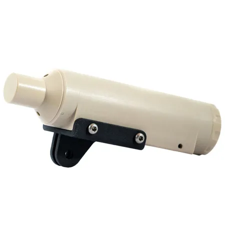
After meticulous design and rigorous testing, the Qysea Underwater Quick Positioning System (U-QPS) emerges as an innovative and high-quality solution for advanced underwater navigation and safety. This robust system is engineered to provide a comprehensive 3D map of the FIFISH Remotely Operated Vehicle's (ROV) real-time location, ensuring precise and reliable tracking capabilities even in challenging underwater environments.
The U-QPS is not just a piece of equipment; it's a fully integrated software and hardware ecosystem tailored to enhance the performance of your underwater exploration and inspection tasks. With its intuitive interface, the system allows for seamless recording of Points of Interest (POI), meticulous tracking of three-dimensional dive paths, and the convenience of a one-click function to return the ROV to its original location.
Durable and sturdy, the Qysea U-QPS is built to withstand a variety of underwater interferences, from murky waters to unpredictable currents, making it an indispensable tool for professionals in marine research, underwater cinematography, and search and recovery operations.
The U-QPS-IK Software is a testament to Qysea's commitment to innovation and user-friendly design. It offers a dynamic display of the ROV's real-time position, angle, depth, altitude, and distance from the operator. By combining various mapping software, the system not only displays but also tracks the ROV's movement path with precision. Users can set Point-of-interest (POI) locations at any time during the dive, ensuring that no critical data is missed. The software also records the ROV's movement path, providing valuable data for post-mission analysis and reporting.
Choosing the Qysea Underwater Quick Positioning System means opting for a product developed by Qysea, a reputable brand known for its high-quality safety and recovery equipment for drones. Its ease of use and straightforward installation process make it a convenient and reliable choice for professionals seeking to enhance their underwater operations with cutting-edge technology.
Elevate your underwater missions with the Qysea U-QPS, where innovation meets reliability in the depths of the ocean.
