


See Options
Need help? Ask our experts.
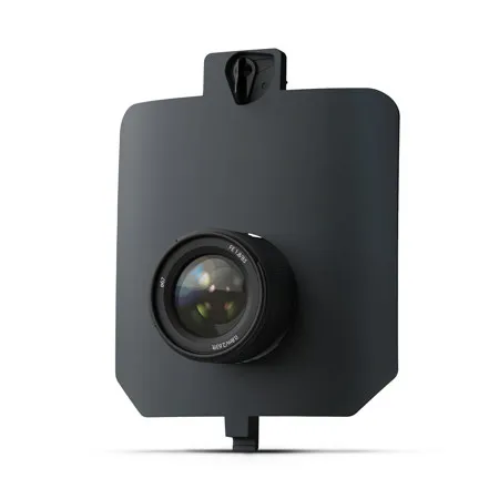
Millimeter-level crack detection at scale
Capture surface-level defects across runways, railways, and roads with unmatched clarity. INSPECT pairs a high-resolution RGB sensor with fast coverage, so you can run accurate inspections in a fraction of the time.
Capture sharp, high-res imagery for fast, reliable infrastructure inspections
Lock in on all defects in one pass
Resolve fine cracks, surface wear, and structural issues with millimeter-level GSD.
Cut through motion blur with a fast sensor
See cracks and defects with crystal clarity so you can easily identify and classify them visually or with AI.
Cover more in short time windows
Inspect up to 80 ha (200 ac) in one flight to reduce shutdowns of roads, airports, and more.
Spot defects early with sharp imagery and fast coverage
Airfield crack detection
WingtraRAY with the INSPECT payload can map 95% of U.S. airport runways in a single flight. That means just 1 2 hours of runway downtime to capture millimeter-level imagery across the full surface no boots on active runways. Get same-day crack maps and FAA-ready reports to keep inspections fast, safe, and fully compliant.
Pavement crack detection
Map entire road sections in one flight with millimeter-level detail. Detect cracks early, reduce field time by up to 40%, and fly safely over traffic with built-in parachute and obstacle avoidance.
Railway inspection
Inspect 10s of kilometers (miles) of rail per day within visual line of sight, or 100s of kilometers (miles) beyond visual line of sight. Capture track geometry with 5 mm (0.2 in) accuracy at gauge and plan lineside maintenance with confidence.
Dam monitoring and hydroelectric infrastructure
Detect cracks, leaks, and structural wear on high-risk infrastructure before they become threats.
Cut runway inspection time with Wingtra and gNext
See how you can detect and classify cracks with gNext using standard orthomosaics outputs (.GeoTIFF) from Wingtra.
No more guesswork or email chains
Plan flights in WingtraCLOUD and instantly share them with stakeholders for approval. Everyone works off the same version, in real time no back-and-forth, no version confusion.
No boots on the runway capture everything in one flight
A 1 2 person crew sets ground control points and flies the entire area with WingtraRAY. The high-res INSPECT payload captures fine cracks, surface wear, and damage at scale fast, safe, and accurate.
From images to crack maps in a few clicks
Upload imagery to WingtraCLOUD for automatic geotagging and orthomosaic creation. Then import the map into gNext, where AI detects, classifies, and measures cracks no manual marking, no wasted time.
Cracks classified and ready to report
Zoom into hairline cracks or scan the entire runway from a single high-resolution map. gNext classifies and measures for you, so reports are ready in a few clicks.
Data you can trust for PCI and compliance workflows
Export defect data from gNext into your pavement management or PCI workflows. Speed up compliance and secure FAA funding with reports that meet every requirement.
Designed for use with: WingtraRAY Drone .