


See Options
Need help? Ask our experts.
Get your high-quality, reliable LIDAR data more efficiently and easier than ever before with this best in class solution. Get more done with Wingtra's exceptional efficiency. Cover significantly more ground in one flight or finish smaller projects faster.
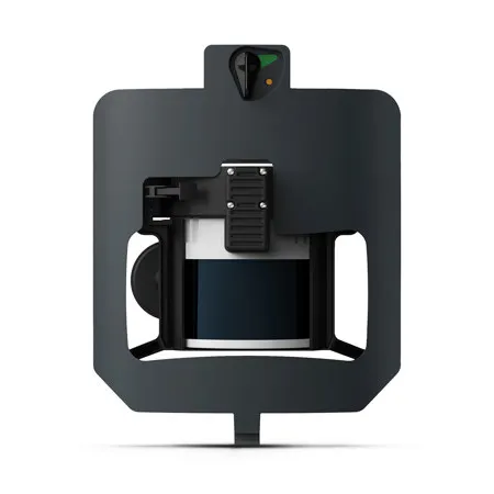
Base your decisions on high quality reliable data thanks to best-in-class components and an optimized 3-return system for robust vegetation penetration.
Vertical accuracy down to 1.2"
Consistent accuracy thanks to the top-tier LIDAR sensor and Inertial Labs IMU.
Up to 3 optimized returns
Delivers sharp, clear data without noise from unnecessary returns.
Superior strip alignment
Data aligns right out of the drone, reducing post-processing time and "editing."
Simplified workflow from start to finish. Wingtra LIDAR offers minimal setup time and full compatibility with 3rd party analysis tools.
Plan and manage
Create sites and intuitively plan your missions, even over complex terrain. Invite your team to review, comment, and capture.
Capture
Easily capture your LIDAR data with the WingtraOne drone. Its portability and carry-on batteries make it perfect for efficient field use and air travel.
Process
Process your point cloud up to 5 times faster than other solutions with the Wingtra LIDAR app. Save time, get reliable data, and focus on analysis.
Analyze
Wingtra LIDAR data runs smoothly across leading industry software, so you can select the tool that best suits your needs. Or you can get Wingtra's bundled LiDAR360 for easy one-click classification and advanced analysis.
Deliver
Deliver high-quality outputs, like point clouds, DTM/DSM, and much more.
From construction to forestry, Wingtra LIDAR provides accurate insights to support complex, real-world applications.
Minimize costly rework with accurate data
LIDAR surveys offer accurate site data for every stage of construction, for sharper decision-making and less rework.
• High-res topographic data to prevent rework
• Safe data capture in hard-to-reach areas
• Up to 40% reduction in labor and data collection time
• Up to 5% increase in margins thanks to fewer errors
Get accurate high-res topographic data
Move beyond traditional methods to manage land much more efficiently and precisely based on high-resolution data and georeferenced maps.
• Georeferenced high-res maps for GIS
• Streamlined property and boundary definitions
• Detailed topographic insights on natural features
• Efficient data capture across large, hard-to-reach areas
Forest biomass stress and disease monitoring
Accurately assess biomass, monitor growth rates, and support forest health by detecting stress and disease early.
• Large-area monitoring with 25-40% cost savings
• Data capture up to 40% faster with Wingtra's speed
• Up to 35% more accurate biomass and carbon stock analysis
• Efficient data collection in hard-to-reach terrain
Same-day data for keen operational decisions
Get accurate, same-day data to make better decisions based on current reality without disrupting ground operations.
• Accurate, high-res same-day data delivery
• Safe data collection without halting operations
• Data collected up to 40% faster than traditional methods
• 99% accuracy in vegetation monitoring for effective reclamation