


See Options
Need help? Ask our experts.
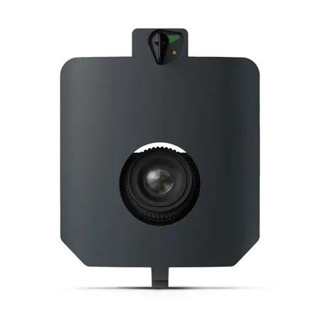
MAP61 is Wingtra's most efficient mapping sensor, engineered for both large-scale 2D mapping and high-resolution 3D models. MAP61 opens up new possibilities in environments that were once too challenging to map accurately and efficiently. Save time in the field. The oblique mounted 61 MP sensor and wide field of view dramatically speeds up overall mission time.
Cover up in a single flight 460ha 1,140 ac
This golf course map, used for management tasks like rating, planning, design, and maintenance organization, was captured in just 37 minutes with the MAP61 sensor, covering 270 ha (670 ac) at 120m (400 ft).
Faster data turnaround. Capture more in each shot and quickly move from fieldwork to final output.
2x faster processing time
With MAP61's wide 93 Degree field of view, fewer images are needed, reducing the data volume by half and significantly speeding up data processing time.
Get detailed 3D with reliable accuracy
Capture highly-detailed 3D models of complex structures with precision for accurate analysis and planning. Absolute accuracy (RMS x, y, z) with PPK: 0.1 ft (3cm)
Easily generate large-scale maps
Only Wingtra combines high-resolution with vertical take-off and landing (VTOL) and WingtraCLOUD. This integration lets you plan, capture, and process everything in one seamless platform, simplifying workflows and delivering faster insights.
Designed for use with: WingtraRAY Drone .