


See Options
Need help? Ask our experts.
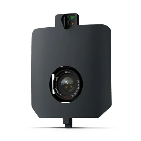
For survey grade photogrammetry and high precision mapping, SURVEY61 offers a 61 MP nadir RGB sensor with a low distortion lens enabling aerial surveying in high resolution - featuring GSD down to 0.5cm/px. Perfect for urban planning and construction, it provides survey-grade accuracy from 120 m AGL without the need of Ground Control Points (GCPs). Covering up to 310ha at 120m (1.3cm/px GSD), it also ensures efficient data capture for projects of all scales while retaining exceptional detail.
Designed for use with: WingtraRAY Drone .