Drone technology is advancing rapidly and fire departments throughout the U.S. are increasingly leveraging their benefits during firefighting operations. Drones provide rapid deployability, reach, and adaptability to fire departments with improved situational awareness and enhanced disaster response.
Key Stats
- Firefighters are allowed to fly drones up to a maximum elevation of 400 feet, barring any additional FAA restrictions.
- Industrial drones used for firefighting applications typically start at under $10,000 depending on their payload configuration.
- The U.S. Department of Interior (DOI), which manages the Office of Wildland Fire, first began flying drone missions in 2010 and carried out roughly 200 flights that year.
- The FDNY Command Tactical Unit deployed a tethered drone for the first time on March 6, 2017, in response to a 4-alarm fire in the Crotona Park section of the Bronx.
- 518 drone mapping flights were carried out through the smoky aftermath of California’s deadly Camp Fire in 2018, collecting 1.4 trillion pixels of data in an effort to map out the destruction.
- As of 2019, the number of annual firefighting flights carried out by the DOI and other wildfire agencies within the U.S. had increased to 2,389.
How Are Drones Being Used by Fire Departments?
Unparalleled Access
Drones give firefighters unparalleled access compared to traditional earthbound firefighting operations. Terrestrial firefighting vehicles lack the same access that drones do, especially when operating out in the wild with inaccessible terrain, thick vegetation, and inadequate road infrastructure, or in densely populated urban areas full of high rises and other physical obstacles. A drone’s ability to fly high up in the sky allows firefighters to fly over inaccessible natural terrain and tall buildings to gather aerial intelligence.
Risk Assessment
Drones can reach much higher elevations compared to traditional fire trucks equipped with aerial ladders. Depending on FAA regulations, drones are allowed to fly up to 400 feet in the air. Compare this to ladder trucks which can only reach up to 100 feet. Drones also take much less time to deploy. This allows fire departments to survey the fireground quickly and accurately from the air and to assess potential risks and dangers. This gives commanding officers unparalleled situational awareness and aerial intelligence, allowing them to deploy firefighters and coordinate rescue efforts safely and efficiently.
Thermal Imaging
Between thick clouds of smoke billowing from the fireground and physical obstructions like buildings and tall trees in the environment, visibility is always a challenge for firefighters on the ground. Thankfully, drones outfitted with high-definition infrared (IR) cameras give firefighters thermal imaging capabilities to see what the naked eye could not. This enables them to monitor hotspots, identify deployed personnel, and locate people trapped inside structures despite the lack of visibility.
Remote Monitoring & Coordination
Drones allow firefighters to relay high-definition video intelligence of the fireground back to central command in real time. This facilitates improved coordination with other disaster response agencies and first responders on scene. The footage and data gathered during emergency response incidents can also be used as evidence, for after-action analysis, and incorporated into future training materials.
Emergency Deliveries
In certain emergency situations, victims may be trapped within a burning building or other remote, unsafe, and otherwise inaccessible locations. Often, these victims may require time-sensitive emergency care and cannot wait until firefighters and other first responders have contained the fire and create a path to them. Fortunately, fire departments can use drones to deliver emergency supplies and equipment such as Automated External Defibrillators (AEDs) to these victims while firefighting and rescue efforts are underway.
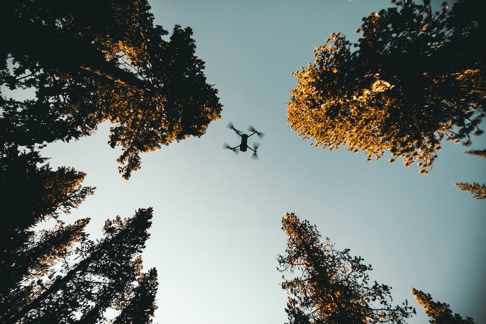
Why Are Drones Useful for Fire Departments?
Higher Reach
Drones can reach much higher elevations compared to conventional fire trucks equipped with aerial ladders.
Rapid Aerial Surveillance
Drones allow fire departments to begin surveying the fireground within moments of arriving on scene, and to do so much more comprehensively from the air.
Accessibility
Drones allow firefighters to monitor fires in inaccessible terrains or other hard-to-reach locations.
Search & Rescue
Drones can be equipped with thermal imaging cameras to help identify hotspots, victims, and rescue crews otherwise invisible to the human eye when the fireground is engulfed in smoke. They can also be outfitted with floodlights to aid in nighttime rescue operations.
Cost Savings
As drones provide fire departments significant technical and safety benefits, they also provide notable cost savings compared to other methods. Deploying fire trucks and personnel may be costly, and drones help to offset part of that cost when fighting emergency fires.
Damage Assessment
Drones are helpful in surveying the fireground during and after a fire to assess damage, record the spread of the fire, and help locate missing persons. In addition to being valuable evidence, information recorded by the drones during firefighting operations can also be used to create training materials.
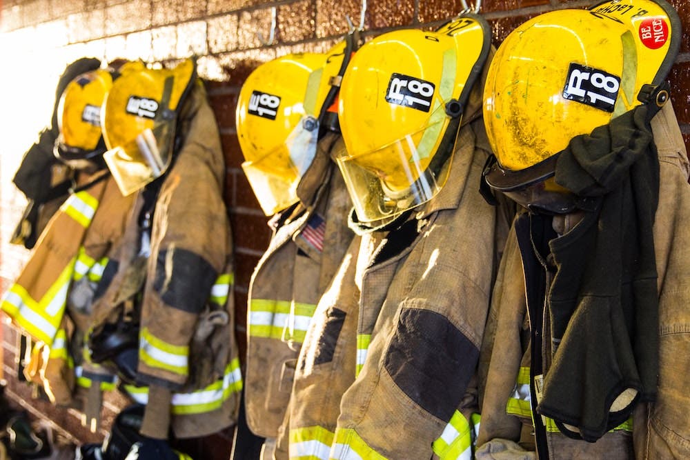
Firefighter Safety
By deploying drones in emergency situations — which are often dangerous and potentially life-threatening — fire departments are able to maintain and prioritize firefighter safety.
Here’s Where to Learn about UAS Training for Public Safety
Related Rules & Regulations
According to the Federal Aviation Administration, federal, state, and local government offices can fly UAVs (Uncrewed Aerial Vehicles, a.k.a. drones) to support specific missions, such as search and rescue, under either Title 14, Part 107 of the Code of Federal Regulations (14 CFR Part 107) or by obtaining a Certificate of Waiver or Authorization (COA). Unlike standard COA applications which can take up to 60 days to be reviewed and approved, first responders (such as fire departments) and other organizations responding to natural disasters or other emergency situations may be eligible for expedited approval through the FAA’s Special Governmental Interest (SGI) process. Below are some of COAs required for public safety agencies to operate drones within US airspace:
Blanket Area Public Safety (BAPS) COA
This allows public safety agencies to operate drones under 14 CFR Part 107.
Jurisdictional COA
This allows operations in Class C, D, and E airspace as well as operations conducted at night. A Notice to Airman (NOTAM) must be filed prior to flight.
Emergency COA
This allows for the one-time operation of the UAS (Uncrewed Aircraft System, a.k.a. drones) at that location based on an imminent risk to life type event where piloted aircraft may need to be available or the risk of piloted aircraft is too great.
How Are Public Safety Agencies Funding Their Drone Programs?

What to Know Before Using Drones
FAA Rules and Regulations
Without a special waiver, current FAA regulations only allow drones to be flown during daylight hours, no higher than 400 feet and no faster than 100 miles per hour. Additionally, the aircraft must remain in the visual line of sight of the remote operator.
Costs of Setting Up a Drone Program
Flying a drone for commercial use requires training. While the benefits far outweigh the costs, it’s important for firms to understand their goals and create a plan before purchasing hardware.
Risk of Lawsuits
Similar to any other collision, if a drone crashes, any harmed individuals may be able to bring upon a lawsuit. This further emphasizes the importance of training, and understanding the rules and regulations, so oil and gas firms can fly safely and compliantly.
Here’s Your Guide to Implementing a Drone Program for Your Department
How Can Adorama Business Solutions Help?
Top Vendors
Adorama Business Solutions has strong relationships with top manufacturers like DJI, Autel, FLIR, Flyability, senseFly, Yuneec, Draganfly and many more.
Training
Adorama offers numerous UAS training programs, from its in-house, ground-up drone training for Public Safety, to COA Development, SOP Development, photogrammetry, crime scene mapping, night and thermal operations and more.
Subject Matter Experts
Adorama Business Solutions employs and partners with dozens of drone industry experts, with vast arrays of experience. We help companies get started flying their missions — efficiently and compliantly.
Software and Payloads
Adorama carries many software solutions, and our experts can discuss the right software, hardware, camera and sensor pairings for the job.
Recommended Products
DJI Matrice 300
- Live Mission Recording
- AI Spot-Check
- Create Up to 65,535 Waypoints
- Set Multiple Actions for 1+ Payloads
- Multiple Payload Configurations
- Infrared ToF Sensing System
Autel 640T / Autel US Dual
- Radiometric 640 x 512 Thermal Sensor
- 8K Ultra HD
- Greater Dynamic Range with 4K HDR
- 38 Minutes of Battery Life
- Open SDK
DJI Zenmuse H20T SP Gimbal with Thermal Camera
- 20 MP Zoom Camera
- 12 MP Wide Camera with 82.9° DFOV
- 640×512 px Radiometric Thermal Camera
- Laser RangeFinder with 1200 m Max Range
- IP44 Rating
- -20°C to 50°C Operating Temperature
SkyeBrowse
- Autonomous Drone Software Platform
- Makes < 1cm Accuracy 3D Models in Under 2 minutes
Pix4D
- Photogrammetry Software Suite
- Flight App, Desktop and Cloud Platforms for Mobile and Drone Mapping
You can download this information by filling out the form below:

