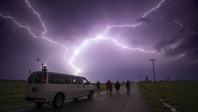
My interest in weather started at a very young age, when a meteorologist visited our third-grade class to talk about tornadoes. Movies like “The Wizard of Oz” and “Twister” furthered my fascination. Growing up, I would stand outside and watch a storm every chance I got. I started photography in 2008, enrolling at the Southeast Center for Photographic Studies in Central Florida. I had never so much as picked up a camera before. Once I felt somewhat comfortable with using a camera, I decided I wanted to capture a photo of lightning. After a few failed attempts, I captured my first lightning image in August 2009. It wasn’t a particularly interesting image, but I was hooked. From that point forward, being storm chaser photographer was my primary focus.
What is Storm Chase Photography?
Storm chase photography requires a photographer to follow the weather to make compelling photographs of storms. I tell people that I drive thousands of miles to (hopefully) see hypothetical clouds.
People chase storms to different degrees. There are spotters, who wait around their local areas and document storms as they pass through. That’s how I started out. Although, I quickly grew tired of waiting for storms to come to me.
I knew if I really wanted to make something out of this, I would have to go to them. That’s when I became a storm chaser. Chasers may travel thousands of miles each year, covering vast distances in a single day. I personally drive over 40,000 miles each year to try to get the most compelling images.
How to Track a Storm
To chase storms effectively, you need to understand a decent amount about meteorology. The trick is being in the right general area before storms even form. To do this, I also make my own forecasts, using the modeling website Pivotal Weather. I also monitor forecasts from professional meteorologists at the National Weather Service and the Storm Prediction Center.
The National Weather Service has 92 local offices spread out across the U.S. These offices handle the forecasts for their local area, which could be a few counties or most of a state. The Storm Prediction Center makes forecasts for the entire country, focusing on severe and fire weather.
Areas for Storm Chasing
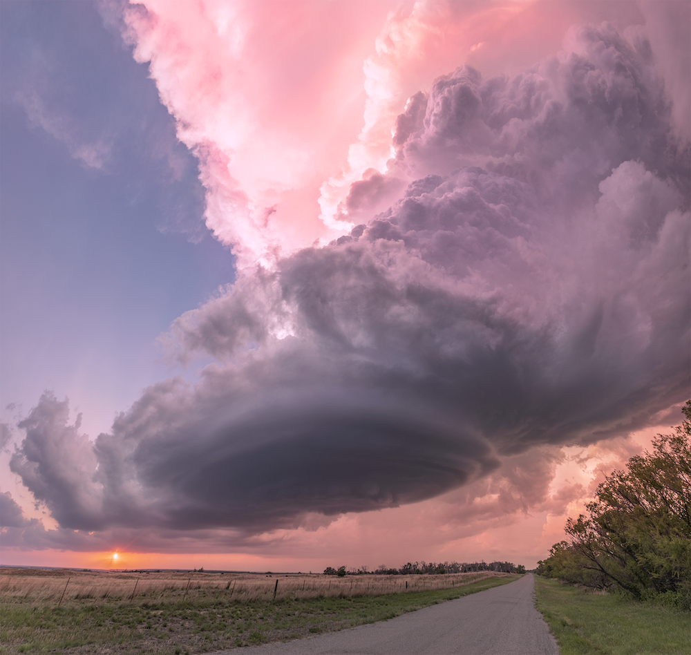
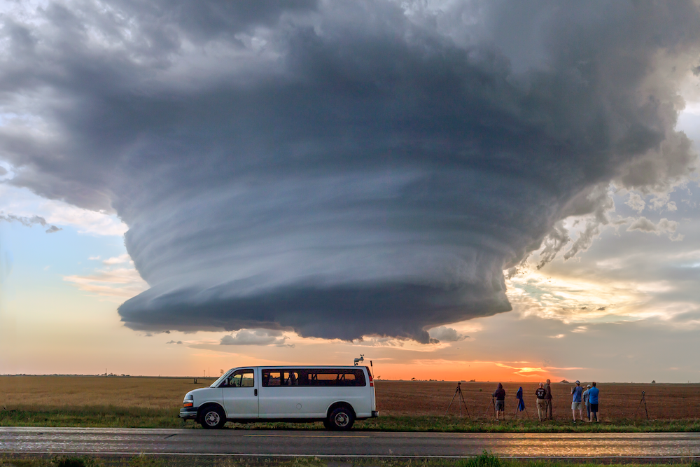
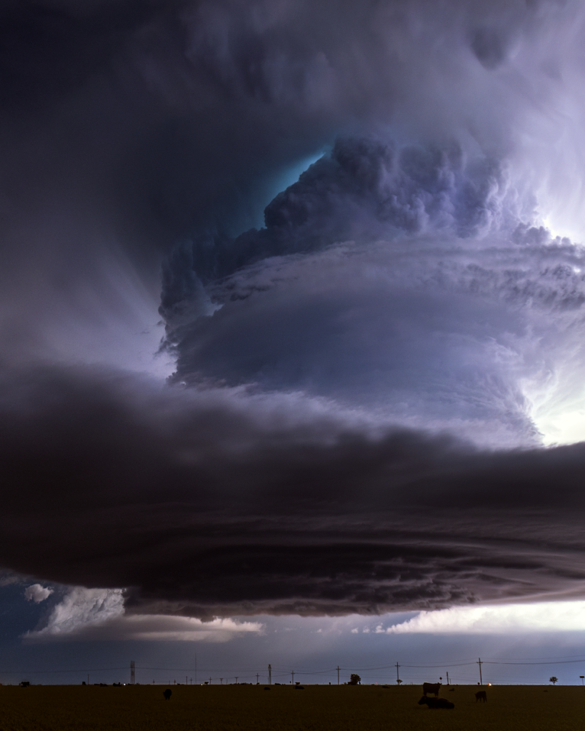
Depending what type of weather phenomenon you’re interested in, you will want to focus on different areas of the country at different times of the year. Supercell thunderstorms is the type of storm that produce most tornadoes. These often occur in the Southern Plains (Texas, Oklahoma, and Kansas) in early Spring (March and April).
Severe weather setups tend to migrate further north into the Central and Northern Plains (Colorado, Nebraska, and the Dakotas, Wyoming, Montana) later in the season (May and June).
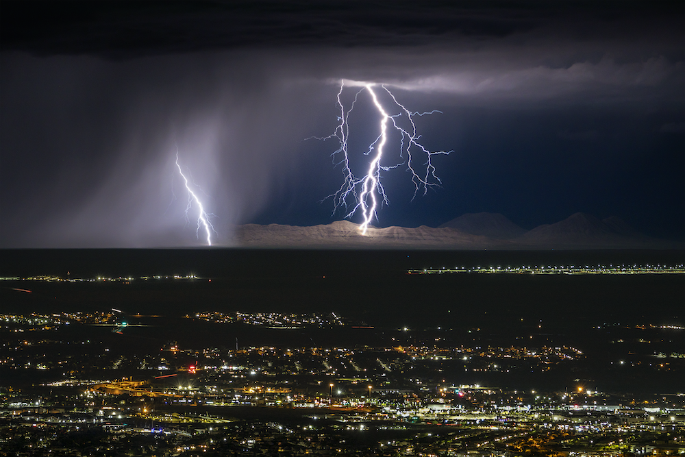
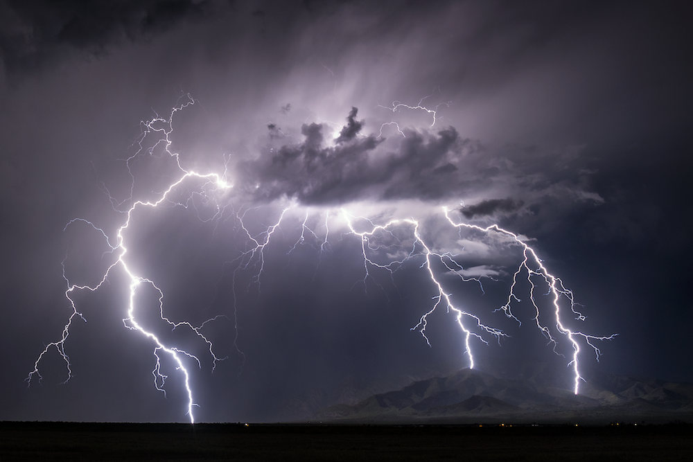
The Midwest can also get some pretty dramatic supercells late in the season. If it’s lightning you are after, the Southwest is the place to be in summer months (July and August). Arizona, Utah, New Mexico, and Texas have a monsoon thunderstorm pattern in place that time of year where storms produce tall, brilliant strikes of lightning.
The Southeast states (Louisiana, Mississippi, Alabama, and Florida) see a lot of severe weather throughout the entire year, but the terrain and dense population make chasing there very difficult. Of course, storms and tornadoes can happen in any state during any month of the year. Therefore, it’s good to have a couple local views in mind should one occur in your area.
Apps to Track
Nowadays, everything you need to chase storms is in the palm of your hand. Your smartphone has a powerful camera for stills and videos. It also has the internet to access all the model and forecast websites. It has Google Maps, which will help you navigate around storms. I often find myself dropping pins to see the street view if I am somewhere that I’m unfamiliar with. You also need to be able to view radar. There are two great apps for this — Radarscope and Radar Omega. These allow you to view different aspects of the storm in nearly real time. It is crucial to always remember that a radar image is — at the very least — a couple minutes old. Things can change quickly in a very brief period.
Where to Shoot
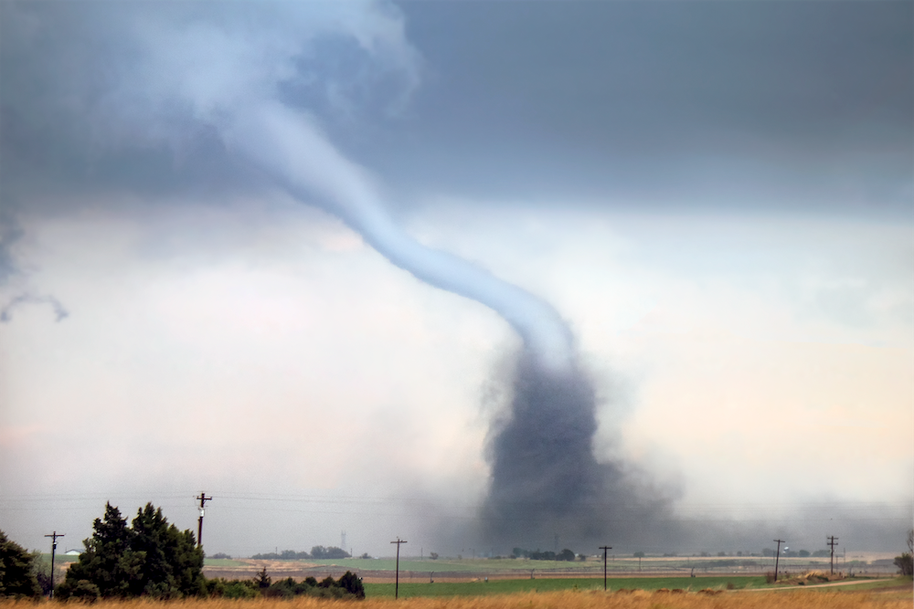
From a photography standpoint, there isn’t much to see inside the core of a thunderstorm. You primarily want to be on the edge of the storm to a couple miles away. That’s where you will tend to find the most interesting cloud formations and photogenic lightning. If it’s a storm that has a good chance of developing tornadoes, I like to be in front of its path, so I can let it come to me then reposition as it gets over my location.
Necessary Gear for Storm Chase Photography
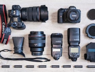
To get the highest quality images, I suggest a good mirrorless or DSLR camera. These are especially handy when the light gets low, and your exposure times grow longer. You also need a sturdy tripod as there is typically wind. I shoot on a Canon EOS R Mirrorless Camera with an Induro tripod. I don’t use any sort of rain protection, other than keeping a small towel handy to wipe water droplets from the lens. It’s good to have a variety of focal lengths at your disposal. My go-to storm chasing lenses are a 16mm prime, 24mm-105mm, and a 100mm-400mm.
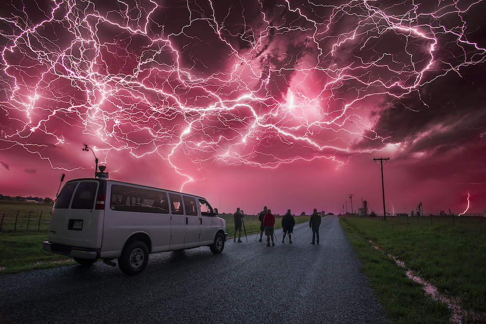
It’s also good to have a remote control or intervalometer. I make a lot of timelapses while out chasing. This enables me to keep a better eye on radar and gives me more time to plot my next move. There are devices known as lightning triggers, which will fire the camera once it senses lightning. All of these are great to have because, if needed, you can move to shelter while the camera still documents the approaching storm. This is an especially good idea if lightning is striking near your location. You can hop back into your vehicle — in relative safety — while the camera continues to shoot.
Tips for Storm Chase Photography
Plan an Escape Route
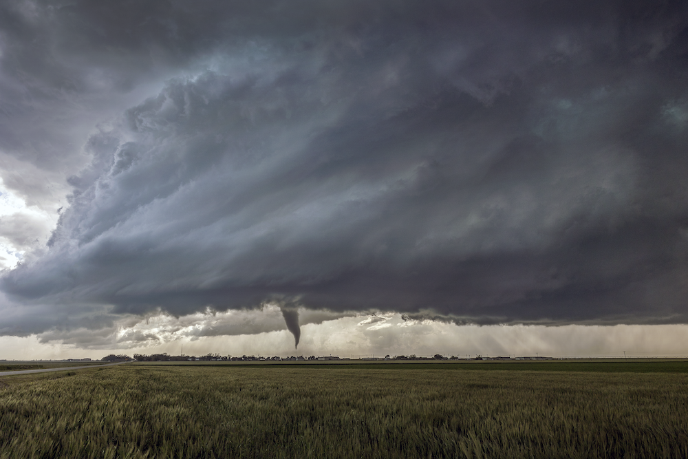
No shot is worth your life. Safety is always the number-one priority. To be safe, you must always have complete and total situational awareness. You constantly need to be a step or two ahead of the storm and anticipate what it will do next. To do this, you should always have an escape route (or two) in mind. You also need to give yourself enough time to safely use that escape route. It is easy to stay in a location too long. By the time you’re loaded up and leaving, you are being overrun by heavy precipitation, hail, strong winds — or worse.
Practice, Even When You Aren’t There
There is no substitute for experience. The more you are out chasing storms and viewing how events unfold, the better feel you will develop for what to expect. There is a lot of instinct that comes into play. To help develop mine on days that I couldn’t chase, I would practice virtually from home. I would choose a target early in the day, watch the radar, and theorize about what I would do if I was out chasing. The more you understand about weather, the better you will be for it. There is plethora of information on YouTube. There are even courses, such as the Jet Stream Online Weather School.
Find a Mentor
It’s a good idea to learn from someone with experience. I was fortunate to have a few veteran storm chasers take me under their wing. They’ve shown me a lot of important aspects and techniques. If you don’t happen to know any storm chasers, a good way to learn is by going on a storm chasing tour. Our company — and a few others — offer tours with varying degrees of educational aspects. Ours are run the same way as a photography workshop and include classes on forecasting, reading radar, positioning, navigating, shooting, and editing. This gives our guests the entire experience and the information they need to know. This is all while staying safe while being guided by experienced chasers.
Have an Experienced Driver
While lightning, floods, large hail, and tornadoes present obvious dangers, by far the biggest hazard for storm chasers is the driving. We often find ourselves driving long hours and late into the night. It’s not unusual to wind up in blinding rain with zero visibility. Other drivers may be panicked and prone to making poor choices. It’s important to have someone behind the wheel that can handle all these aspects.
Stay Unique
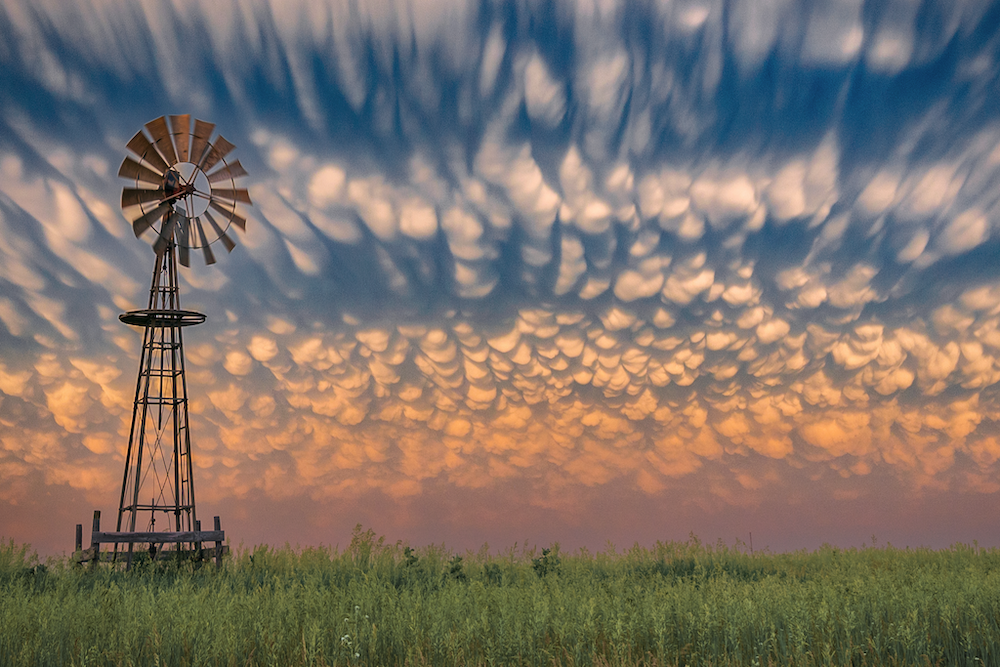
As with most genres, the field of weather photography is becoming increasingly saturated. If you want to see success, you must find a way to stand out from the pack. This can be done by your editing processes, creating timelapses and videos, or just consistently producing strong work. There will always be someone closer or with a better angle than you. There is no beating the local who steps onto their back porch and captures a cell phone video of a tornado from 20 feet away.
Conclusion
Storm chasing is a lot of fun. I like it because no two days are the same. Every storm is different than the last. Even with all our technological advances, there is still so much we do not fully understand about our weather. We don’t know exactly how lightning forms or why some storms produce tornadoes while others do not. It’s also a great way to get out and see our country.
